History of Remote Sensing
Here is a brief history of remote sensing, or efforts to capture pictures of the Earth from a distance. It outlines early experiments with different vehicles for carrying cameras that captured pictures on film and ends with the birth of the digital age.
Beginning with Balloons
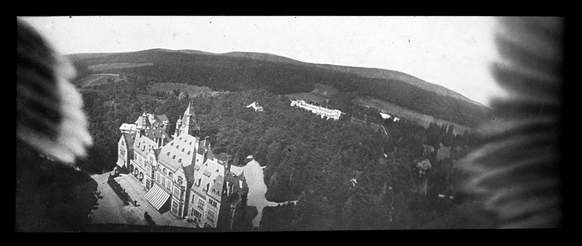
In 1858, “Nadar” (aka Gaspard-Félix Tournachon) took a picture of Paris from a hot air balloon and the field of remote sensing was born.
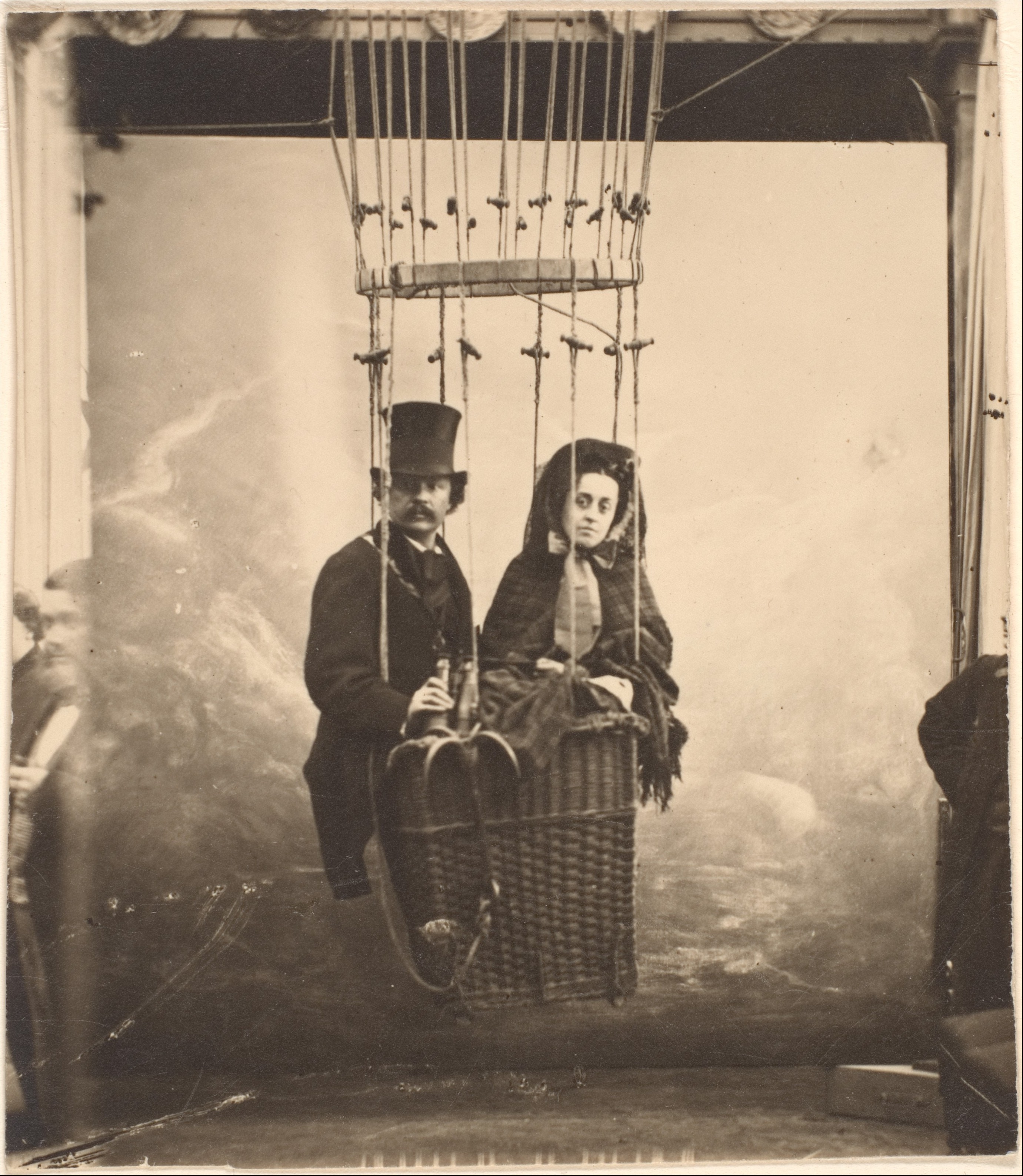
Nadar with His Wife, Ernestine, in a Balloon
The picture below is an example of his work, though it is not the first image he took.
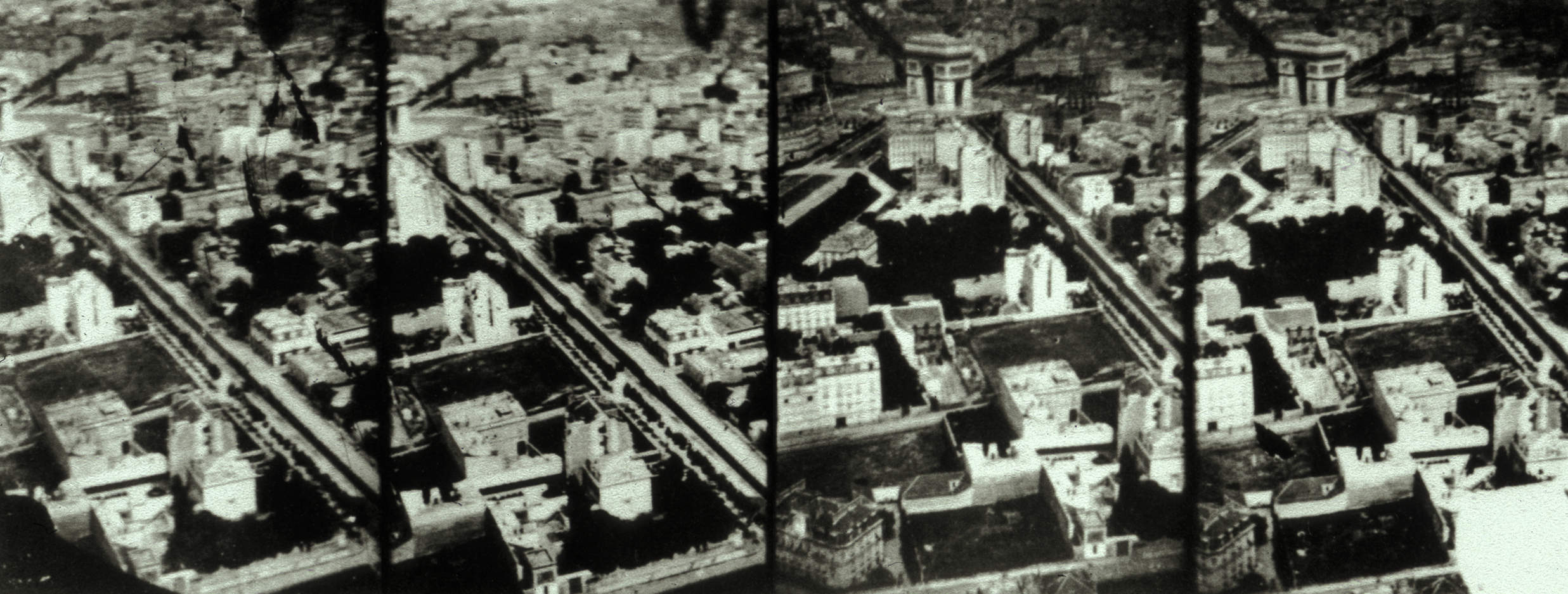
In 1860, James Wallace Black photographed Boston from Samuel King’s hot air balloon The Queen of the Air.
In July 1863, Wendell Holmes helped popularize the image with a piece in the Atlantic Monthly:
Boston, as the eagle and wild goose see it, is a very different object from the same place as the solid citizen looks up at its eaves and chimneys. The Old South [Meeting House] and Trinity Church [left center and lower right] are two landmarks not to be mistaken. Washington Street [bottom] slants across the picture as a narrow cleft. Milk Street [left center] winds as if the old cowpath which gave it a name had been followed by the builders of its commercial palaces. Windows, chimneys, and skylights attract the eye in the central parts of the view, exquisitely defined, bewildering in numbers…As a first attempt [at aerial photography] it is on the whole a remarkable success; but its greatest interest is in showing what we may hope to see accomplished in the same direction.
Balloon aerial photography is still a popular hobby; search internet for “balloon aerial photography”.
Rocket photography
In 1897, Alfred Nobel successfully took a photography from a rocket.

Twenty years later, Alfred Maul fired a rocket into the atmosphere that released a camera with a parachute and photographed the German countryside on it’s descent.
i  photography + pigeons =
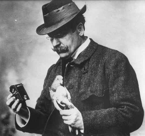
Julius Neubranner loved photography and pigeons. In 1903, he brought his twin passions together and patented his “breast mounted pigeon camera”.
Pigeon photography is currently a niche hobby; search internet for “pigeon aerial photography” for the latest.
Kite photography
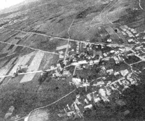
George Lawrence used kites to hoist a camera 2000 feet above San Francisco and photographed the city after the 1906 earthquake. This is an early (if not the first) example of using aerial photography to document the aftermath of a “natural” disaster.

Kite photography is still an active hobby enjoyed by more than a few people, particularly people with more time than money like graduate students; search internet for “kite aerial photography” if you are interested.
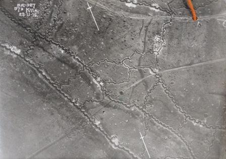
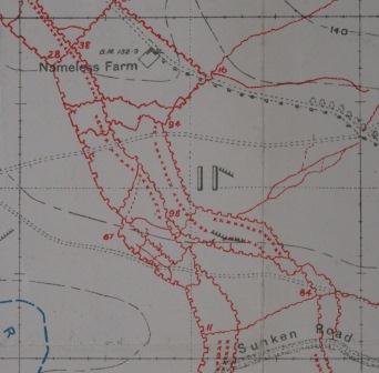
From planes
In 1909, Wilbur Wright took the first photograph from a plane. The method developed rapidly during World War I.
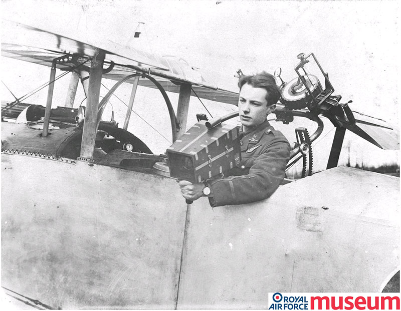
Lieutenant S C Thynne circa 1916
Air photographs provided reconnaissance of battlefield theatres that were then schematized into maps by cartographers.
Early satellites
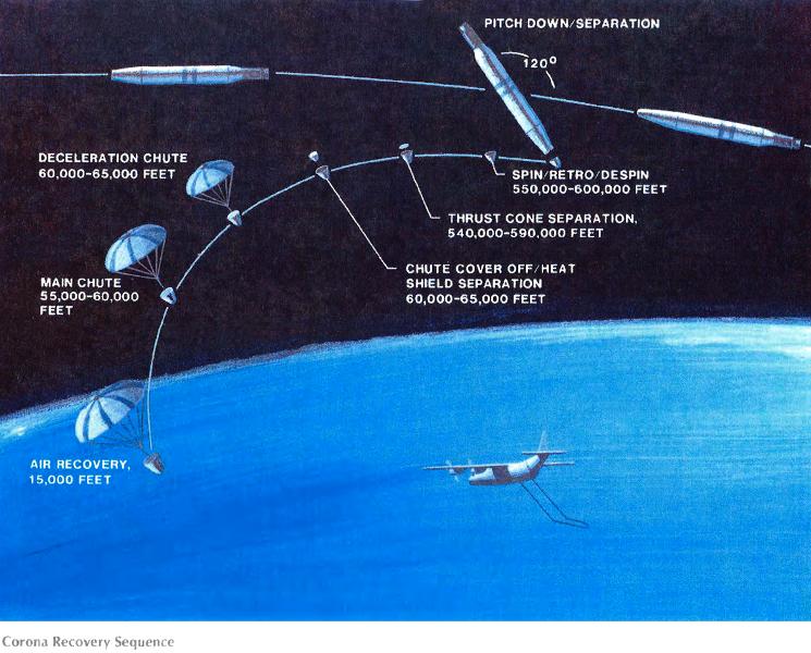
The Corona Photographic Surveillance satellites captured photographs of earth on film. They delivered the film to the dark room by releasing a canister which would eventually fall out of orbit, enter the atmosphere, and release a parachute, which a plane would then retrieve in flight.
The mother of Landsat
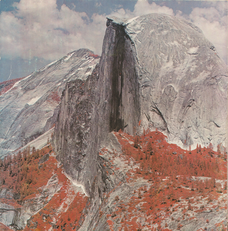
Q: I’ve seen an image of Yosemite National Park’s Half Dome taken by a Landsat 1 prototype. How did that come about?
A: When NASA said, “How do you know this damn thing will work?” we came up with the idea of taking the breadboard around to national parks. The Half Dome image was a tremendous hit.
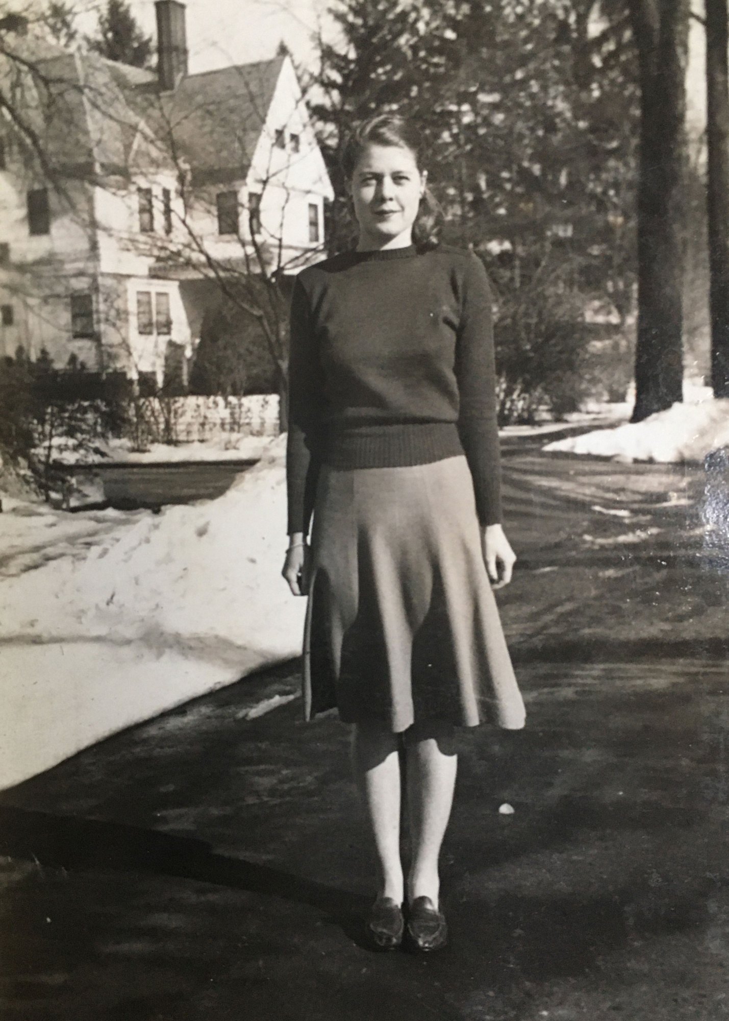
Virginia Tower Norwood during her second or third year at MIT. Source: MIT Technology Review
For Virginia Tower Norwood’s biography, please read this article.
Summary
Early efforts used a variety of vehicles to capture scenes on Earth from above on film. Even the first satellite systems used film. Virginia Norwood developed the first proof of the multiple spectral scanning concept. She lead the team that showed how it was possible to capture digital data in multiple spectral bands and the digital age of remote sensing was born.